In June 2012, Apple announced that it was no longer going to use Google Maps as their default mapping system. Since the iPhone is in direct competition with Google’s Android Platform, Apple decided to get rid of the Google Map App on iPhones. Apple then began to use data from TomTom in the U.S. and others internationally to create their own mapping system.
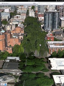
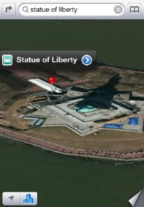
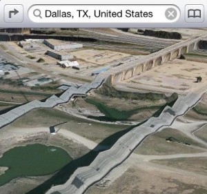
So what is the problem? Apple’s new mapping system is a complete international bust and is nowhere close to Google’s mapping power. Missing cities, poor visual quality, and inaccurate mapping has been a major problem for Apple users.
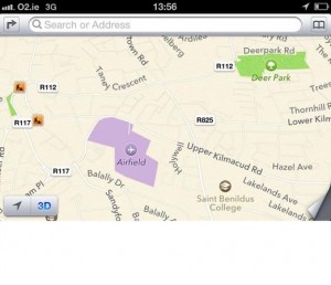
According to NBC News, buildings are shifted to other locations and schools are misspelled. If you need to find Pioneer High School in San Jose, try looking for Poineer High School. Buildings are in rivers, an entire city is located in the ocean, and a farm is mislabeled as an airport! Ireland Minister for Justice Alan Shatter described the mislabeling of the airport on the farm as “dangerously misleading.” In an emergency, pilots may land in the mislabeled area and cause serious injuries. Shatter has plans to notify Apple to correct this dangerous error.
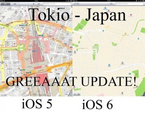
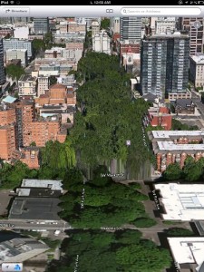
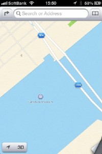
The problems Apple users are facing in the United States are much less than the rest of the world. Places like Tokyo, Beijing, and London are basically left to deal with blank maps because of obscured views from clouds, unlabeled areas, and other issues. Here are a few examples Apple users around the world are currently dealing with:
For Apple, their new map was a major selling point for the new iPhone 5 that went on sale on September 21st for the U.S. and other major markets. Ultimately Apple doesn’t really have to offer anything other phones in the industry are already providing. Lines of anxious Apple users were still ready to buy the new phone despite all the negative buzz of the new maps on iPhones. Will Apple customers later regret their purchases? Apple will have to really fix these issues if they are to compete with Google.


